Synthetic-Aperture Radar Processing
Advanced radar signal processing for all-weather, day-night intelligence gathering with cloud-penetrating change detection capabilities.
SAR Technology
Synthetic Aperture Radar provides unique capabilities that complement and enhance optical satellite imagery.
All-Weather Operation
Penetrates clouds, rain, and atmospheric conditions that block optical sensors.
Day-Night Capability
Active radar system provides consistent imaging regardless of lighting conditions.
Surface Penetration
Certain frequencies can penetrate vegetation and detect subsurface features.
Precise Measurements
Millimeter-level precision for deformation monitoring and change detection.
Polarimetric Analysis
Multiple polarizations provide detailed information about surface properties.
Interferometric Processing
Phase information enables 3D mapping and ground movement detection.
SAR Applications
Mission-critical applications where SAR provides unique advantages over optical imagery.
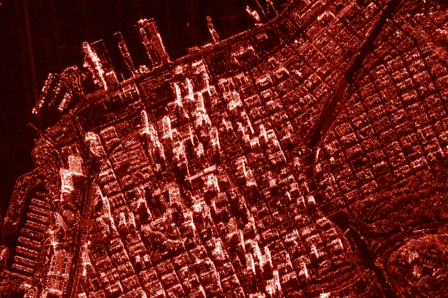
Infrastructure Monitoring
Monitor urban development, building stability, and infrastructure changes with high precision.

Ground Deformation Monitoring
Detect millimeter-level ground movement for infrastructure monitoring, landslide prediction, and seismic analysis.
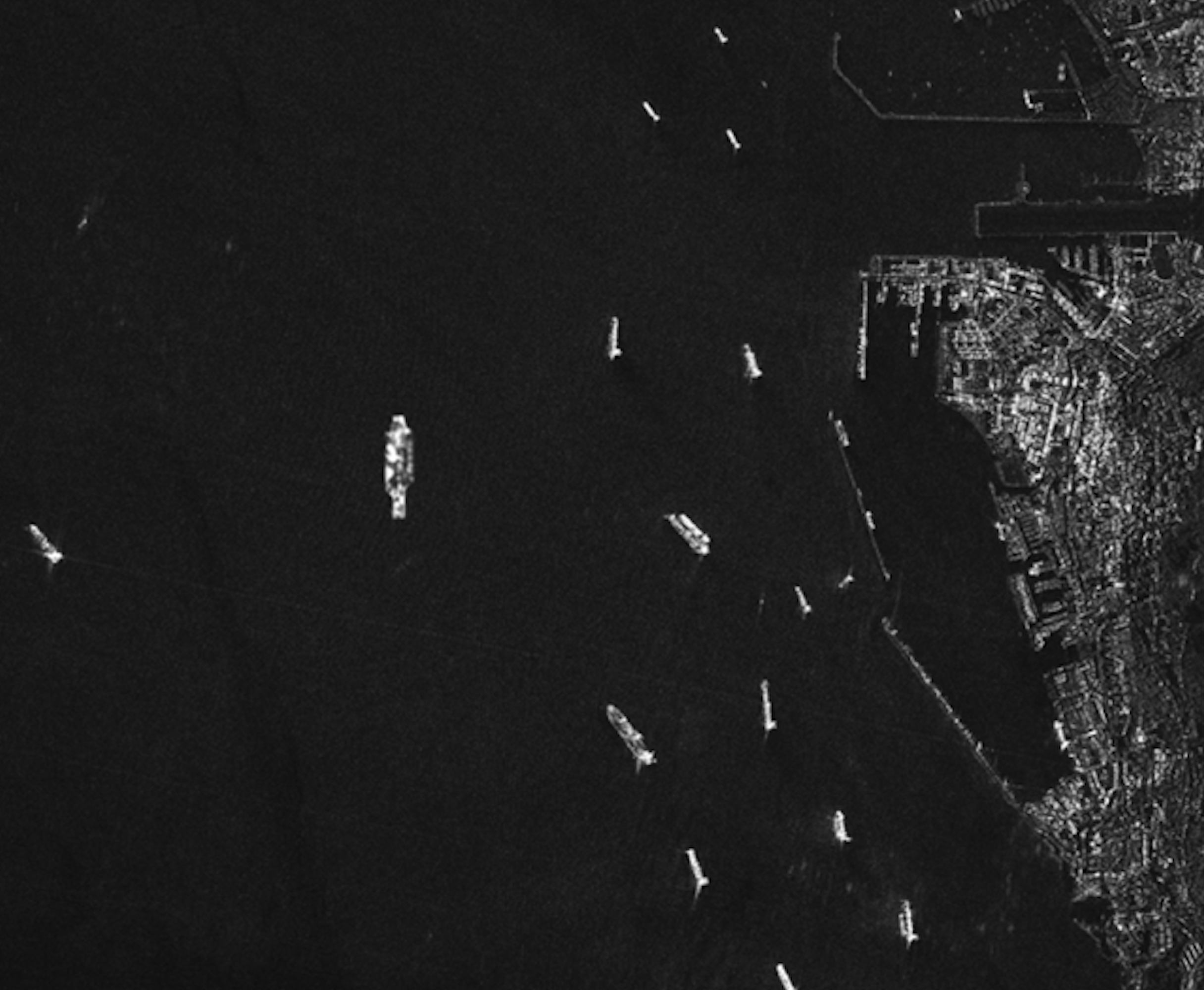
Maritime Surveillance
All-weather ship detection and tracking for maritime domain awareness and security applications.

Forest & Vegetation Analysis
Penetrate forest canopy to assess biomass, detect deforestation, and monitor ecosystem changes.
SAR Data Sources
We process data from leading SAR satellite missions worldwide.
Sentinel-1
ESA's C-band SAR constellation
5m × 20m resolution, 6-day revisit
C-band (5.4 GHz)
RADARSAT
Canadian Space Agency SAR missions
1m × 3m resolution, flexible modes
C-band (5.4 GHz)
TerraSAR-X
German high-resolution SAR satellite
1m × 1m resolution, X-band
X-band (9.6 GHz)
ALOS PALSAR
Japanese L-band SAR system
3m × 1m resolution, L-band
L-band (1.3 GHz)
Unlock All-Weather Intelligence
Leverage the unique capabilities of SAR technology for continuous monitoring and analysis.